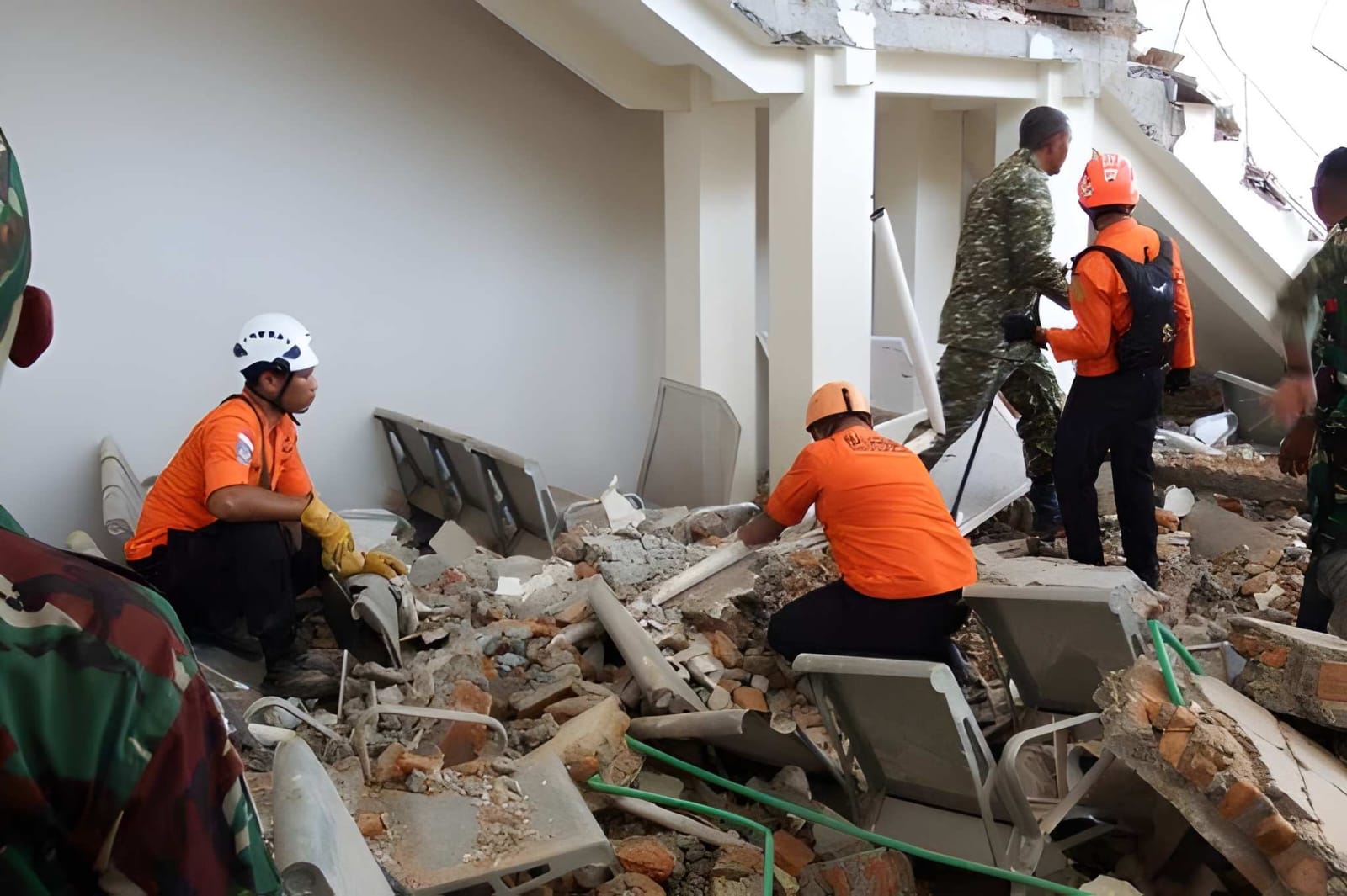
A 6.8-magnitude earthquake struck northern Sumatra, Indonesia, at a depth of 158 km on August 15, 2026. The tremor followed an earlier 7.7-magnitude quake off Flores Island that killed at least 38 people, triggered landslides, destroyed infrastructure, and displaced thousands across affected regional provinces.
JAKARTA, Indonesia — A magnitude-6.8 earthquake struck northern Sumatra on Saturday, August 15, 2026, registering at a depth of 158 kilometers (98.18 miles), according to data released by the German Research Centre for Geosciences (GFZ).
The deep-focus earthquake occurred just hours after a devastating 7.7-magnitude shallow tremor struck off the coast of Flores Island in eastern Indonesia early Saturday morning. Officials confirmed that the initial disaster killed at least 38 people, injured dozens, and displaced thousands of residents across multiple regencies.
Widespread Devastation and Emergency Response Operations
The earlier 7.7-magnitude earthquake, which struck at a depth of 10 kilometers, triggered localized tsunami warnings, widespread structural collapses, and massive landslides. While the sea-level warnings were subsequently lifted, emergency workers face major obstacles as key infrastructure remains severely compromised.
Landslides triggered by the initial shaking severed access along the Trans-Flores highway, cutting off vital transit routes between Labuan Bajo and Larantuka. The blockage has severely delayed search and rescue operations attempting to reach isolated inland settlements. Emergency responders in Sikka, Manggarai, and East Manggarai continue to dig through collapsed residential homes, public buildings, and mudslides in search of trapped survivors.
Hospital staff in affected provinces evacuated hundreds of patients to outdoor temporary treatment centers due to ongoing structural damage and fears of further collapse.
Official Sources Section
Disaster management and geological tracking authorities continue to monitor seismic developments across the archipelago:
Quote Section
According to official disaster response coordinators, emergency efforts remain entirely focused on victim recovery and infrastructure clearing:
"Our primary focus remains on locating victims buried beneath rubble and clearing critical roadways blocked by landslips," stated Fathur Rahman, head of the Maumere Search and Rescue Agency.
Local authorities further noted that search teams are actively attempting to locate residents believed to be trapped under mud and debris following secondary landslides.
Why It Matters
Indonesia rests along the Pacific "Ring of Fire," an arc of intense seismic activity prone to frequent volcanic eruptions and earthquakes. The convergence of multiple major tremors within a single day severely strain national emergency response capacities, disrupting supply chains, telecommunications, travel infrastructure, and power grids across affected provinces. Travelers and logistics operators in eastern and northern Indonesia face continued flight delays, road closures, and localized disruptions as aftershocks persist.
Key Facts at a Glance
Sumatra Seismic Activity: A 6.8-magnitude earthquake struck northern Sumatra at a depth of 158 km.
Prior Major Tremor: A separate 7.7-magnitude shallow earthquake hit off Flores Island earlier the same day.
Casualties & Displacement: At least 38 deaths have been confirmed, with around 2,000 people displaced to temporary shelters.
Infrastructure Impact: Landslides cut off the Trans-Flores highway, hindering emergency rescue access.
Tsunami Status: Initial tsunami warnings issued by BMKG were evaluated and subsequently lifted.
FAQ Section
What was the magnitude of the earthquake in northern Sumatra?
The earthquake in northern Sumatra recorded a magnitude of 6.8 at a depth of 158 kilometers.
Did the earthquake trigger a tsunami?
Although initial tsunami warnings were issued following the earlier 7.7-magnitude tremor in eastern Indonesia, monitoring by BMKG confirmed no destructive tsunami threat, and all alerts were lifted.
How many casualties have been reported from the Indonesian earthquakes?
Disaster management officials have confirmed at least 38 deaths and dozens of injuries, primarily resulting from building collapses and landslides caused by the 7.7-magnitude jolt.
Why is Indonesia prone to frequent earthquakes?
Indonesia lies on the Pacific "Ring of Fire," a major area in the basin of the Pacific Ocean where many volcanic eruptions and tectonic earthquakes occur.
Source: German Research Centre for Geosciences (GFZ), Indonesian National Disaster Management Agency (BNPB), Indonesian Meteorology, Climatology, and Geophysics Agency (BMKG).