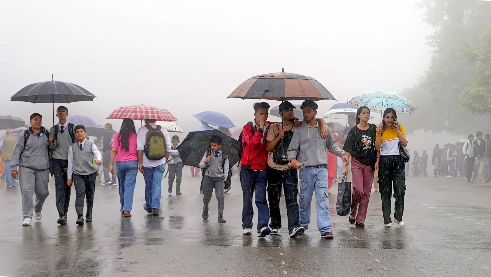
The India Meteorological Department has announced a major monsoon comeback in India, driven by a new low-pressure system in the Bay of Bengal. The system breaks a ten-day dry spell, bringing widespread rainfall to parched states including Punjab, Haryana, and Central India, which will help support crucial agricultural operations.
NEW DELHI — The India Meteorological Department (IMD) officially declared a significant regional turnaround on Monday, July 20, 2026, as the southwest monsoon makes a powerful comeback in India after a severe ten-day seasonal lull. A newly formed low-pressure system developing over the Bay of Bengal has successfully shifted the seasonal monsoon trough back toward its normal southern path. This development will trigger widespread, heavy precipitation across multiple state lines, breaking the intense "break monsoon" phase that had left large agricultural tracts of central, northern, and eastern India parched under high summer temperatures.
Factual Mapping of Incoming Rainfall Regions
According to the comprehensive extended-range alerts issued by meteorologists at the India Meteorological Department base command, the incoming weather systems will drive intense rain cycles running through July 25, 2026. The active meteorological trigger is powered by the synchronization of a Bay of Bengal low-pressure vector with a fresh upper-air cyclonic circulation lingering over North Punjab and adjoining borders.
The physical regions mapped to experience widespread to fairly widespread rainfall encompass:
Northwest India: Intensive downpours are tracking across Punjab, Haryana, Chandigarh, Delhi, and Uttar Pradesh between July 20 and July 23, alongside continued heavy activity over the hill states of Himachal Pradesh and Uttarakhand.
Central India: Severe rainfall systems are actively shifting across Madhya Pradesh, Chhattisgarh, and the Vidarbha manufacturing and farming corridors.
East and Northeast India: Persistent wet spells are locked over Gangetic West Bengal, Jharkhand, Bihar, and Assam, with isolated extremely heavy rainfall alerts remaining active for Meghalaya and Nagaland.
West Coast Hubs: The traditional monsoon belt covering Konkan, Goa, and Coastal Karnataka will witness a marked return to widespread seasonal precipitation levels.
The federal weather forecasting bureaus have placed several urban districts under a "Yellow Alert" classification, warning municipal administrators of sudden waterlogging in low-lying sectors and temporary traffic disruptions during peak precipitation hours.
Context of the Mid-Season Lull and Agricultural Risks
The anticipated monsoon comeback arrives after a grilling period of deficit accumulation. Data compiled from June 1 through mid-July 2026 revealed that the country as a whole faced a steep cumulative rainfall deficiency of 23% relative to the Long Period Average (LPA).
The slowdown was induced by weak El Niño conditions over the Pacific Ocean, combined with a lack of active depression zones over the Bay of Bengal, which allowed continental temperatures in agricultural states like Punjab to surge past 41 degrees Celsius.
The localized deficit had placed severe strain on agrarian communities, delaying essential paddy transplantation schedules and increasing regional reliance on groundwater extraction systems.
Because July typically contributes more than 30% of total seasonal precipitation, this mid-month revival is viewed by industry analysts as a vital buffer to prevent extensive crop failures across the country's multi-billion dollar agricultural economy.
Official Sources Section
The current weather tracking charts, regional deficit calculations, and low-pressure tracking loops featured in this report are drawn from centralized government statements.
All primary weather alerts and regional maps are updated regularly via the electronic disclosure counters of the Ministry of Earth Sciences and the national press distribution feeds organized by the Press Information Bureau (PIB) of India.
Quote Section
"According to officials familiar with the monsoon mission tracking models, the southward movement of the core pressure trough will help restore balance to the soil moisture levels across the Indo-Gangetic plains. The administrative teams are working alongside regional agricultural universities to distribute localized crop advisory warnings ahead of the heaviest rain spells."
Why It Matters
For millions of agrarian workers, rural households, and domestic consumers, the successful monsoon comeback in India is critical to stabilizing the prices of everyday food staples like rice, pulses, and oilseeds. Healthy rainfall helps prevent severe spikes in food inflation, which would otherwise strain household budgets.
For international institutional investors, power grid operators, and commodity desks, the breaking of the dry spell reduces immediate concerns over hydroelectric power shortfalls and dropping industrial water levels. The revival ensures that rural consumer spending remains supported, protecting the underlying economic growth metrics of the subcontinent through the remaining fiscal quarters.
Key Facts at a Glance
Meteorological Trigger: A new low-pressure system over the Bay of Bengal is driving the monsoon comeback in India.
Deficit Mitigation: The rain spell aims to lower a steep 23% nationwide cumulative rainfall shortfall logged since June 1.
Target Windows: Heaviest precipitation zones are tracking across Punjab, Haryana, Central India, and the Konkan coast between July 20 and July 25.
Agricultural Impact: The wet spell brings critical moisture needed for ongoing paddy transplantation and crop survival.
FAQ Section
What caused the prolonged dry spell during mid-July 2026?
India experienced a classic "break monsoon" phase, where the main low-pressure trough drifted north toward the Himalayas, leaving the central and western plains dry due to weak wind patterns and El Niño conditions.
Which specific states will benefit most from this weather revival?
Major agricultural states including Punjab, Haryana, Uttar Pradesh, Madhya Pradesh, and Chhattisgarh are set to receive significant rainfall, helping farmers reduce their reliance on artificial irrigation.
Will this upcoming spell fully erase the seasonal rainfall deficit?
While this wave will provide immediate relief and lower short-term deficits, long-term projections from the IMD indicate that overall rainfall for July 2026 may still close slightly below the long-period average.
Source: India Meteorological Department Forecast Hub, Ministry of Earth Sciences, Press Information Bureau - Government of India.