


Loading market data...
ADVERTISEMENT

Latest Top News
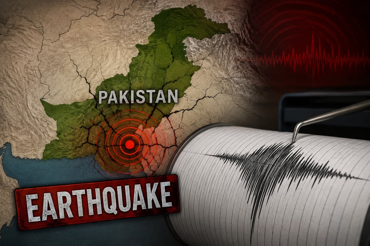
Magnitude 5.4 Earthquake Jolts Pakistan; No Immediate Damage Reported
A moderate 5.4 magnitude earthquake jolted Pakistan early Saturday near Barkhan, Balochistan, marking the second tremor to hit the nation in under 24 hours. Official reports from global seismological agencies confirm no immediate casualties or infrastructural damage occurred, though the events underscore the country's vulnerability to active tectonic plate movements.
Stay Ahead – Explore Now! RBI FX Interventions and Gold Holdings Remain Flat in May
ADVERTISEMENT

Latest Updates

Tusshar Kapoor Disorients PR Narrative For Welcome...
27 Jun 2026, 01:56 PM
Fernando Muslera Headlines Major Group Stage Exit...
27 Jun 2026, 11:37 AM
Triple Jumpers Dominate Inter-State Athletics Cham...
27 Jun 2026, 11:35 AM
IMC Launches 'IMC MSME Champions 2026' Initiative...
27 Jun 2026, 11:32 AM
MDMK Set to Formally Announce Stance on DMK Allian...
27 Jun 2026, 11:29 AMADVERTISEMENT

Top Stories
Tusshar Kapoor Disorients PR Narrative For Welcome...
27 Jun 2026, 01:56 PM
Fernando Muslera Headlines Major Group Stage Exit...
27 Jun 2026, 11:37 AM
Triple Jumpers Dominate Inter-State Athletics Cham...
27 Jun 2026, 11:35 AM