


Loading market data...
ADVERTISEMENT

Latest Top News
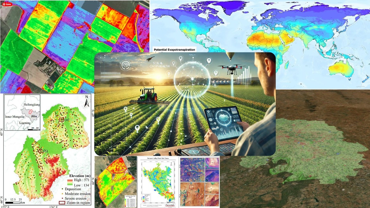
Crop Health, Water Access, Disaster Warnings: How India Is Using Satellite Data To Stay Ahead
The Indian government recently addressed Parliament with detailed information about how satellite data helps in important areas like agriculture, managing water resources, and handling disasters. This kind of data plays a big role in giving timely, accurate information that supports farmers, wate...
Stay Ahead – Explore Now! Golden Parachute: Laid-Off Techie Faces Rare Financial Paradox
ADVERTISEMENT

Latest Updates

Siri AI in iOS 27 Introduces Onscreen Awareness an...
16 Jun 2026, 06:20 AM
FOMO TO FMA - Global Uncertainty Meets Indian Opti...
16 Jun 2026, 06:53 AM
Starlink New Satellite Tech Hits India National Se...
16 Jun 2026, 06:14 AM
SpaceX Rally Extends After Record-Breaking Wall St...
16 Jun 2026, 06:08 AM
Spain vs Cabo Verde Match Result Ends in Historic...
16 Jun 2026, 06:01 AMADVERTISEMENT

Top Stories
Siri AI in iOS 27 Introduces Onscreen Awareness an...
16 Jun 2026, 06:20 AM
FOMO TO FMA - Global Uncertainty Meets Indian Opti...
16 Jun 2026, 06:53 AM
Starlink New Satellite Tech Hits India National Se...
16 Jun 2026, 06:14 AM