The IMD forecasts dry, clear weather for Delhi-NCR today, with temperatures touching 42°C alongside strong, dust-raising surface winds. This intense early-week heat is expected to break abruptly on Thursday, June 11, as an incoming western disturbance brings widespread thunderstorms and a sharp 4°C to 6°C drop in temperatures.
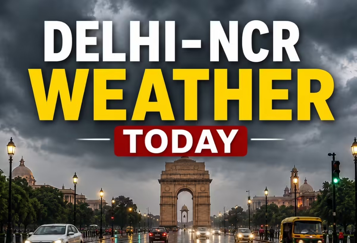
NEW DELHI — The India Meteorological Department (IMD) issued its comprehensive regional forecast on Monday, June 8, 2026, confirming that clear skies and intense solar radiation will push maximum temperatures up to 42°C across New Delhi, Noida, Gurugram, and Ghaziabad today. While the initial half of the week will see dry, hot, and windy conditions, meteorologists have identified an active weather transition later in the weekly cycle, with pre-monsoon rains expected to return to the National Capital Region (NCR) by June 11.
The short-term spike in mercury follows a highly volatile weekend wet spell that briefly brought localized relief. Regional weather centers caution that the current atmospheric stabilization is temporary. A fresh, powerful western disturbance is actively tracking toward the Western Himalayan region, which is mathematically modeled to break the current dry cycle, bringing widespread thunderstorms, lightning, and variable rainfall to the plains of northwest India before the weekend.
High Temperatures and Strong Surface Winds Dominate Early Week
According to the daily meteorological bulletin issued by the IMD Regional Meteorological Centre, the national capital will experience above-normal temperatures over the next 48 to 72 hours. The maximum temperature at the primary Safdarjung Observatory is projected to fluctuate between 40°C and 42°C, while the minimum overnight temperature will remain near normal, settling between 27°C and 29°C.
For Monday and Tuesday, the weather agency has ruled out any immediate rain parameters, opting instead for a bright sunshine configuration. However, residents will experience strong, dry westerly and south-westerly surface winds moving at velocities of 20 to 25 kilometers per hour during daylight hours. This atmospheric friction will create significant dust-raising conditions across exposed transit corridors, keeping the outdoor thermal sensation index elevated.
The sub-regional maximum temperature expectations across major satellite hubs today include:
Western Disturbance to Spark Significant Temperature Drops
The current dry spell is scheduled to break abruptly on Thursday. The weather bureau's dynamic tracking models indicate that a low-pressure trough, originating from the Mediterranean and tracking across the Himalayas, will alter local wind vectors across Delhi-NCR starting June 11, 2026.
The interaction between these cool, upper-tropospheric winds and the heavily heated local boundary layer will prompt severe convective activity. The IMD predicts that the incoming system will trigger a substantial drop in maximum daytime temperatures across the capital, slashing mercury levels down by 4°C to 6°C. This shift will transition the region from scorching heat into a cooler, cloud-covered, and humid pre-monsoon ecosystem.
Delayed Southwest Monsoon Progression Tracking Northward
The ongoing fluctuations in pre-monsoon activity match a broader, closely monitored national climate cycle. System logs managed by the Ministry of Earth Sciences show that the southwest monsoon officially made landfall over the coast of Kerala on June 4, 2026—marking a minor delay of a few days relative to traditional calendar benchmarks.
The monsoon front is currently advancing steadily across the Arabian Sea, Karnataka, Goa, and parts of the northeastern states. Historically, the rainy system requires roughly three to four weeks to migrate from the southern peninsula into the northern plains. Current tracking vectors position the formal arrival of the main monsoon clouds over Delhi between June 25 and June 30, meaning the capital region will continue to rely on temporary western disturbances for heatwave relief over the next fortnight.
Official Sources Section
The current temperature datasets, wind speed observations, and multi-day forecasting matrices were officially extracted from statutory bulletins published by the India Meteorological Department (IMD) alongside air pollution updates verified by the Central Pollution Control Board (CPCB).
Quote Section
Detailing the micro-climatic patterns affecting northern India, regional weather forecasting managers emphasized the sequential nature of the upcoming transition:
"According to officials, maximum temperatures will see a steady rise of about 2°C over the next 48 hours with clear sky configurations. However, a fresh western disturbance is highly likely to affect the Western Himalayan region from June 11, bringing a subsequent fall in temperatures by 4°C to 6°C alongside widespread rain and thunderstorm activities across Delhi-NCR."
Why It Matters
For commuters, outdoor laborers, and logistics operations across Delhi-NCR, the early-week forecast demands strict hydration precautions against daytime heat exhaustion and dust storms. Conversely, for the commercial aviation sector, local businesses, and municipal bodies, the mid-week rain warning highlights the need to prepare for sudden wind damage and potential urban waterlogging. On a broader scale, the stable "moderate" Air Quality Index (AQI) reading of 162 recorded by the CPCB is expected to improve significantly later this week, as the incoming rainfall helps wash away suspended particulate matter from the atmosphere.
Key Facts at a Glance
Peak Heat Targets: Maximum daytime temperatures across Delhi-NCR are projected to reach between 40°C and 42°C on June 8 and June 9.
Wind Conditions: Strong, dry south-westerly surface winds moving at 20–25 km/h will cause dust-raising conditions during daylight hours.
Rain Influx Timeline: A fresh western disturbance will trigger thunderstorms and rain across the capital starting June 11, 2026.
Thermal Relief: The mid-week weather shift is forecast to drop maximum daytime temperatures sharply by 4°C to 6°C.
Monsoon Timeline: Following its June 4 arrival in Kerala, the southwest monsoon is on track to officially reach Delhi during the final week of June.
FAQ Section
1. Will it rain in Delhi, Noida, or Gurugram today?
No. According to the IMD forecast for Monday, June 8, the sky will remain mainly clear with bright sunshine and zero probability of precipitation across the capital region.
2. When is the next round of rainfall expected to hit the NCR?
A fresh western disturbance is scheduled to impact the region starting Thursday, June 11, 2026, bringing widespread light to moderate rain, lightning, and thunderstorms.
3. How low will temperatures drop once the mid-week rain arrives?
The convective weather system is expected to cause a significant drop in maximum daytime temperatures, lowering the mercury by 4°C to 6°C across the region.
4. What is the current status of the main monsoon arrival in Delhi?
The southwest monsoon entered Kerala on June 4, 2026. Based on its current northward movement across central India, the IMD expects it to reach Delhi-NCR between June 25 and June 30.
Source: Official weather bulletins and press statements published by the India Meteorological Department (IMD) and regional air quality indexing data from the Central Pollution Control Board (CPCB).