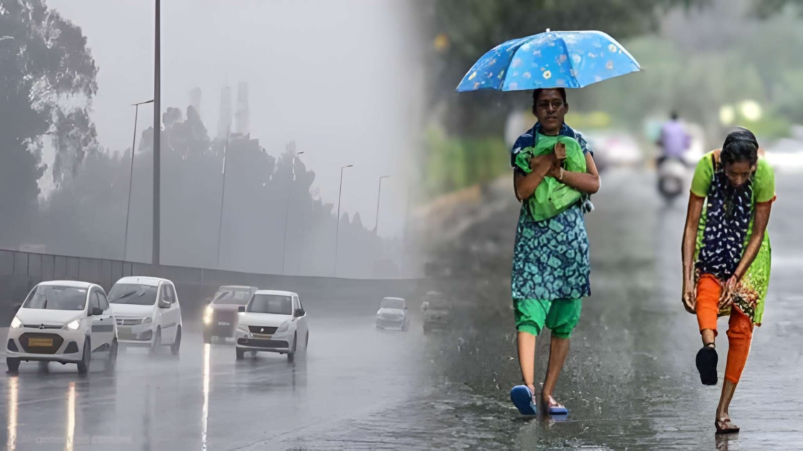
The India Meteorological Department (IMD) has declared a severe Orange Alert for Punjab and Haryana due to an intense, returning monsoon system. Heavy rains exceeding 12 cm are forecast until July 22, raising concerns over flash floods and traffic congestion, while bringing needed moisture to water-deficient agricultural lands.
CHANDIGARH — The India Meteorological Department (IMD) on Monday, July 20, 2026, issued an "Orange Alert" for the states of Punjab and Haryana, warning of heavy to very heavy rainfall over the next 48 hours. A significant shift in weather patterns has driven active monsoon systems back into the northwestern agricultural corridor with intense force. Regional authorities have been urged to prepare for waterlogging, localized flash flooding, and civic disruptions through Wednesday, July 22.
The emergency update follows a prolonged dry spell that left northern plains sweltering under above-normal temperatures. The sudden surge in monsoon intensity is predicted to provide essential moisture for standard summer crops, though urban management infrastructure faces immense structural strain from intense short-duration downpours.
Dual Atmospheric Systems Re-Energize Northwest Monsoon
According to the specialized weather warning issued by the IMD’s regional center in Chandigarh, the monsoon trough has realigned from its previous position over the Himalayan foothills and shifted directly across the plains. This shift is being reinforced by two distinct weather phenomena acting in unison.
An upper-air cyclonic circulation has stabilized over northern Punjab and adjoining Pakistan, while an identical low-pressure cyclonic pocket is tracking across north Haryana. These combined systems are actively channeling high levels of moisture from the Arabian Sea, triggering widespread thunderstorms and persistent lightning across the region.
The northern and central pockets of Punjab are projected to witness the heaviest volume of downpours. Districts placed under immediate observation include:
Widespread Impact on Infrastructure and Agriculture
The ongoing downpours are fundamentally impacting civic systems, retail logistics, and public transit. Traffic cells in cities like Ludhiana and Ambala have noted sharp delays due to sub-surface water pooling on key national highways. Municipal bodies have already begun deploying temporary de-watering equipment in subterranean bypasses and low-lying residential sectors.
Conversely, the rainfall serves as a critical relief mechanism for the regional agricultural sector. Official data tracking reveals that Punjab had been navigating a stark 38% rainfall deficit between June 1 and mid-July, logging just 88.7 mm of precipitation compared to the historical baseline of 150.4 mm. The current weather spell is expected to cover this deficit, minimizing reliance on heavy groundwater extraction for the standing paddy crop.
Official Sources Section
The current weather trajectory, safety guidelines, and multi-hazard assessment maps are published regularly by the India Meteorological Department via their central forecast portal. Emergency coordination measures are operating under directives from the respective state disaster cells of the Governments of Punjab and Haryana.
Quote Section
"According to officials at the IMD Chandigarh center, the active monsoon axis has officially returned to its normal alignment across the northwest plains, creating conditions that will foster widespread rain and heavy isolated falls exceeding 12 centimeters over the next three days."
Why It Matters
The shift to an Orange Alert indicates that citizens must remain vigilant regarding changing public safety conditions. Urban commuters should expect disruptions to road and rail travel, while structural operators must secure temporary setups against lightning and brief gusty winds. For the farming community, the rain provides vital relief, but field management is required to prevent water stagnation in newly planted fields.
Key Facts at a Glance
Alert Level: The IMD has verified an active Orange Alert ("Be Prepared") for both Punjab and Haryana running from July 20 through July 22.
System Metrics: Heavy to very heavy rainfall expected to surpass 12 cm in isolated sectors, driven by paired cyclonic circulations over northern India.
Agricultural Relief: The rainfall is acting to correct a 38% seasonal rain deficiency across major crop belts in Punjab.
Urban Hazards: Transit sectors have issued advisories pointing out flash flood risks, low visibility, and structural waterlogging in underpasses.
FAQ Section
What does an IMD Orange Alert actually mean?
An Orange Alert indicates that weather conditions are expected to become severe, significantly impacting normal life and transport logistics. Residents are advised to stay updated, remain alert, and take necessary precautions during commutes.
Which specific districts are most vulnerable to the current rain spell?
Northern and central belts including Pathankot, Hoshiarpur, Gurdaspur, Rupnagar, and parts of Ambala and Yamunanagar are tracking to receive the highest volume of heavy downpours.
How long will this heavy rain phase last over Punjab and Haryana?
The current intense monsoon spell is predicted to reach its peak between July 20 and July 22, before gradually reducing into lighter, scattered showers by July 24.
Source: the India Meteorological Department Press Releases, The Associated Press.