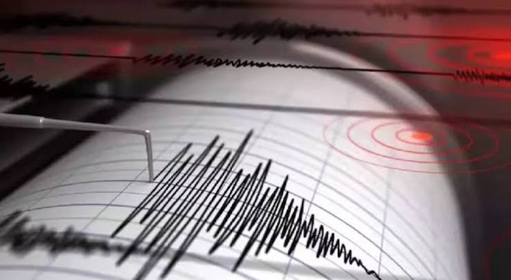
A powerful magnitude 7.7 earthquake struck off the coast of Indonesia's Flores region at a shallow depth, triggering an immediate tsunami warning. BMKG urged coastal residents to evacuate to higher ground as emergency services monitored potential sea-level changes following the major seismic event.
JAKARTA — A powerful magnitude 7.7 earthquake struck off the coast of Indonesia’s Flores region early Saturday, triggering immediate tsunami alerts and sending panicked residents rushing to higher ground.
According to the United States Geological Survey (USGS) and Indonesia’s Meteorology, Climatology and Geophysics Agency (BMKG), the shallow undersea tremor hit at approximately 5:58 AM local time. The epicenter was located roughly 36 to 68 kilometers north-northwest of cities such as Ende and Mbay in the East Nusa Tenggara province, at a shallow depth of 10 to 15 kilometers. The shallow depth significantly amplified the intensity of the shaking felt across the region, prompting widespread emergency responses.
Tsunami Alert and Regional Safety Measures
Following the initial shock, BMKG issued an official tsunami early warning for parts of East Nusa Tenggara, urging citizens residing along vulnerable coastlines and riverbanks to evacuate immediately toward elevated terrain. Regional disaster management teams began monitoring coastal tide gauges in real time to detect any abnormal sea-level fluctuations.
International monitoring networks, including Australia’s tsunami warning centre, quickly evaluated the event, confirming that while regional alerts remained active for immediate Indonesian coasts, the earthquake posed no tsunami threat to the Australian mainland or its offshore territories. Several moderate aftershocks were recorded following the main rupture, adding to the urgency of safety advisories.
Official Sources Section
Quote Section
According to statements released by disaster management officials and regional emergency coordinators monitoring the situation:
"Residents near affected coastal zones are strongly advised to stay away from beaches and riverbanks, remain on high ground, and follow instructions from local emergency services while damage assessments are underway."
Why It Matters
Indonesia sits atop the seismically volatile Pacific "Ring of Fire," an arc of intense tectonic activity and fault lines that makes the archipelago nation highly vulnerable to severe earthquakes and tsunamis. Because shallow offshore quakes carry a high potential for sea displacement, swift tsunami warnings and immediate compliance from coastal residents are critical to preventing loss of life.
Key Facts at a Glance
Event: Magnitude 7.7 undersea earthquake.
Location: Flores region, East Nusa Tenggara province, Indonesia (Epicenter near Ende and Mbay).
Depth: Shallow depth of approximately 10 to 15 kilometers.
Emergency Response: Tsunami early warning issued by BMKG, urging evacuations to higher ground.
FAQ Section
What was the magnitude of the earthquake that struck Indonesia?
The earthquake was measured at a powerful 7.7 magnitude by both the USGS and Indonesia's BMKG.
Where was the epicenter located?
The epicenter was situated off the coast of Flores Island in East Nusa Tenggara province, roughly 10 to 15 kilometers deep.
Was a tsunami warning issued?
Yes, BMKG issued an immediate tsunami early warning for coastal areas in East Nusa Tenggara, advising residents to move to higher ground.
Were there any immediate reports of casualties or damage?
Initial assessments were ongoing, with no immediate confirmed casualties reported, though local authorities continued gathering reports from remote coastal areas.
Source: BMKG, USGS, The Guardian