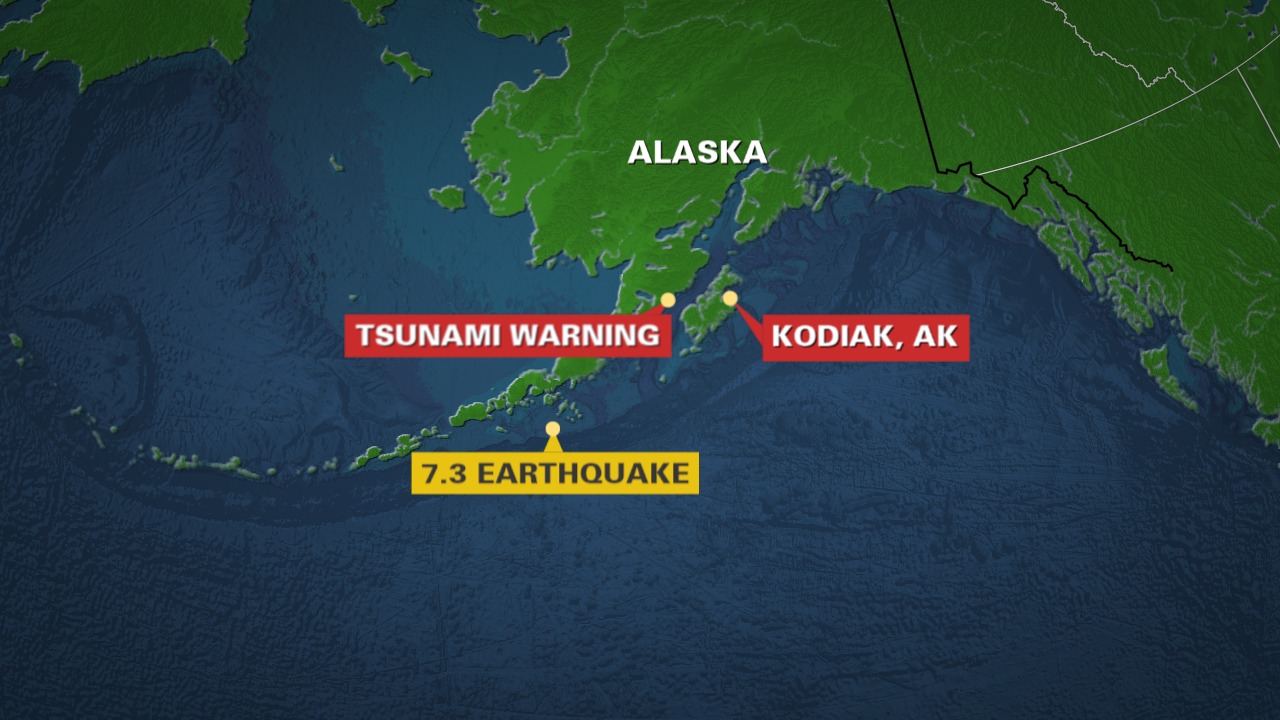
Alaska’s seismic reputation was reaffirmed on July 16 when a magnitude 7.3 earthquake struck off the Aleutian Islands, triggering a tsunami warning and renewed scrutiny from geologists. Though no injuries or major damage were reported, the event is part of a growing pattern that has experts on alert.
What Happened and Where
-
The quake hit at 12:37 p.m. local time, about 54 miles south of Sand Point, with a depth of 20.1 km.
-
A tsunami warning was issued for a 700mile stretch of Alaska’s southern coast, later downgraded and canceled after minimal wave activity.
-
Communities like King Cove and Unalaska urged residents to move to higher ground, following emergency protocols.
Why It’s Not Just Another Quake
-
This marks the fifth earthquake exceeding magnitude 7.0 in the same region since 2020.
-
Scientists believe the area has “lit up” seismically, suggesting a larger tectonic sequence rather than isolated events.
-
Alaska sits on the Pacific Ring of Fire, where the Pacific Plate subducts beneath the North American Plate, generating immense stress and frequent quakes.
Historical Echoes and Future Vigilance
-
The region recalls the deadly 1946 magnitude 8.6 quake that led to the creation of the U.S. tsunami warning system.
-
Alaska experiences a magnitude 7 quake nearly every year and holds the record for North America’s strongest quake: the 1964 magnitude 9.2 event.
-
Experts warn against “evacuation fatigue” and urge residents to remain alert despite repeated false alarms.
Sources: Associated Press, ABC News, MSN News, News18, Independent UK, US Geological Survey, Jagran Josh, MyNorthwest, Phys.org, U.S. News & World Report


