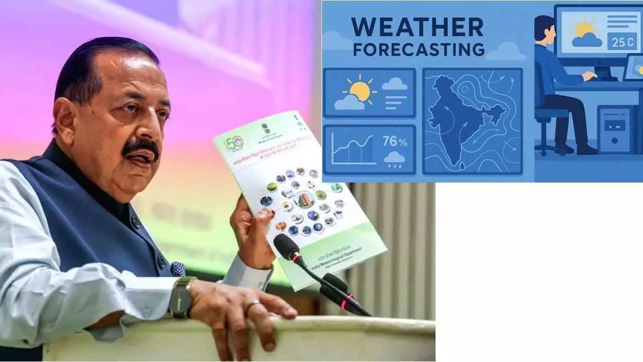
India has taken a monumental leap in climate resilience and disaster preparedness with the launch of the Bharat Forecasting System (BharatFS), one of the world’s most advanced indigenously developed weather prediction models. Unveiled in May 2025 by the Ministry of Earth Sciences, this high-resolution system marks a transformative shift in how India anticipates and responds to extreme weather events, especially in rural and agrarian regions.
Developed collaboratively by the Indian Institute of Tropical Meteorology (IITM), Pune, and the National Centre for Medium Range Weather Forecasting (NCMRWF), Noida, BharatFS is a flagship initiative under the Make in India and Atmanirbhar Bharat campaigns. It replaces the older GFS T1534 model and introduces a novel Triangular Cubic Octahedral (TCo) grid, enabling forecasts at a 6 km resolution—double the precision of its predecessor.
Key Highlights and Breakthroughs
- BharatFS improves rainfall prediction accuracy by up to 30 percent, especially for heavy downpours and cyclonic events
- Forecasts are now generated within 4 to 6 hours, compared to the previous 12 to 14-hour window
- The system delivers hyperlocal predictions at the panchayat cluster level, empowering farmers with actionable insights
- Powered by supercomputers Arka (IITM) and Arunika (NCMRWF), simulations are faster and more detailed
- India now surpasses global models from the US, UK, and EU in resolution, which typically range from 9 to 14 km
Technology Behind BharatFS
The heart of BharatFS lies in its dynamic TCo grid, which allows for better representation of terrain features such as the Himalayas and Western Ghats. This enhanced orographic modeling ensures that local weather phenomena—like flash floods, cloudbursts, and heatwaves—are captured with greater fidelity.
The system integrates real-time data from over 40 Doppler Weather Radars across India, improving nowcasting capabilities and enabling short-term alerts for high-risk zones. These radars use the Doppler effect to measure wind velocity and precipitation intensity, feeding critical data into the forecasting engine.
Applications Across Sectors
1. Agriculture: Farmers receive village-specific forecasts for crop planning, irrigation scheduling, and harvesting. This reduces losses due to unexpected weather and improves yield reliability.
2. Disaster Management: Authorities can optimize reservoir operations during monsoons, issue early flood warnings, and coordinate emergency responses more effectively.
3. Infrastructure: Urban planners and engineers can use forecasts to design climate-resilient roads, drainage systems, and housing.
4. Coastal Communities: Fishermen and coastal residents benefit from timely cyclone alerts and tidal predictions.
5. Public Health: Heatwave and air quality forecasts help mitigate health risks and guide policy interventions.
Empowering Women in Science
In a powerful nod to inclusive innovation, BharatFS is being spearheaded by four women scientists, reflecting Prime Minister Narendra Modi’s vision of Nari Shakti. Their leadership underscores the growing role of women in India’s scientific and technological advancement.
Economic and Strategic Impact
The Bharat Forecasting System is expected to reduce climate-related losses across agriculture, infrastructure, and water management sectors. By delivering precise, timely forecasts, it enhances India’s economic resilience and supports its ambition to become the world’s leading economy.
Moreover, BharatFS positions India as a global leader in weather modeling, offering a template for other developing nations seeking cost-effective, high-resolution forecasting solutions.
Looking Ahead
The Ministry of Earth Sciences plans to expand BharatFS’s capabilities to include seasonal forecasts, climate projections, and integration with AI-driven analytics. Future upgrades may also involve mobile-based dissemination platforms and multilingual interfaces to reach every citizen.
As climate risks intensify, BharatFS stands as a beacon of scientific self-reliance and grassroots empowerment. It is not just a forecasting tool—it is a national asset for safeguarding lives, livelihoods, and ecosystems.
Sources: India Water Portal, Press Information Bureau, Vision IAS, Ministry of Earth Sciences.