


Loading market data...
ADVERTISEMENT

Latest Top News
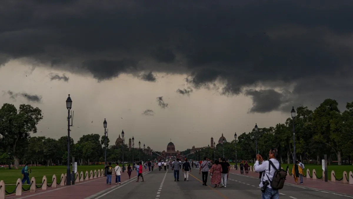
Delhi Weather Forecast: IMD Predicts Rain And Thunderstorms
The India Meteorological Department has forecast light to moderate rain, thunderstorms, and gusty winds up to 60 kmph across Delhi-NCR for June 20, 2026. Driven by a fresh Western Disturbance, the weather system brings relief from summer heat, keeping peak regional temperatures comfortably below 40°C.
Stay Ahead – Explore Now! Ahmedabad CA Final Toppers Avoid Smartphones to Secure Top Ranks
ADVERTISEMENT

Latest Updates
UKIPO Publishes Application For 'Great Indian Kitc...
20 Jun 2026, 10:10 AM
C.O.R.E 2026 Pop-Culture Festival Launches Immersi...
20 Jun 2026, 10:09 AM
India Gold Demand Cools As Duty Hike, Price Volati...
20 Jun 2026, 10:05 AM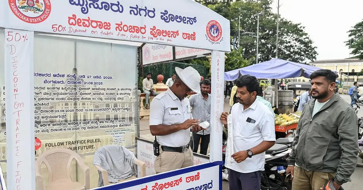
Karnataka Revives 50% Traffic Fine Waiver Scheme I...
20 Jun 2026, 10:01 AM
Dearness Allowance: States Evaluate Pay Hikes For...
20 Jun 2026, 09:56 AMADVERTISEMENT

Top Stories
UKIPO Publishes Application For 'Great Indian Kitc...
20 Jun 2026, 10:10 AM
C.O.R.E 2026 Pop-Culture Festival Launches Immersi...
20 Jun 2026, 10:09 AM
India Gold Demand Cools As Duty Hike, Price Volati...
20 Jun 2026, 10:05 AM