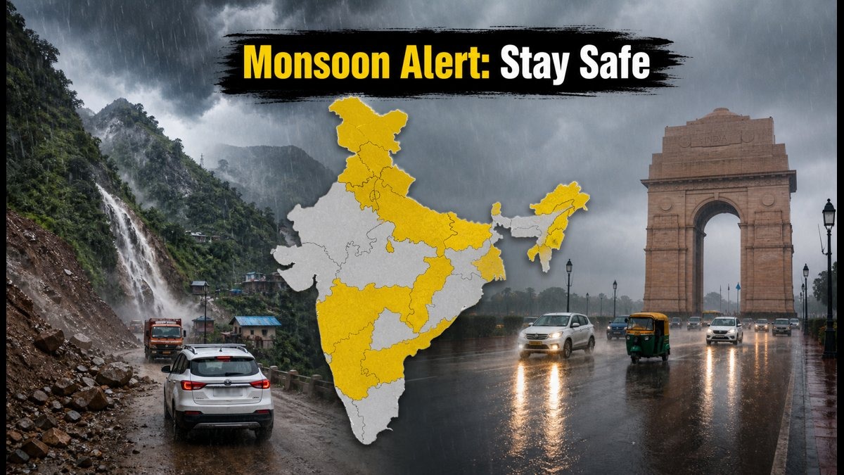
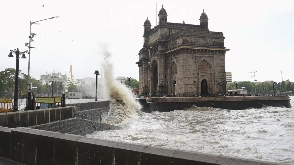
The India Meteorological Department has issued heavy rain and thunderstorm alerts for 18 states through July 18, 2026. Intensified monsoon activity is expected to bring widespread precipitation and gusty winds across northern, eastern, and northeastern India, prompting authorities to warn of potential urban waterlogging and landslide risks in mountainous regions.
The India Meteorological Department has forecast widespread rainfall, thunderstorms, and gusty winds, signaling an active monsoon phase through mid-July.
NEW DELHI — The India Meteorological Department (IMD) has issued a comprehensive weather alert for 18 states and union territories, warning of heavy to very heavy rainfall, thunderstorms, and lightning. As of Sunday, July 12, 2026, the southwest monsoon has intensified, with authorities cautioning residents in regions ranging from the Himalayan belt to the central and northeastern corridors to prepare for significant weather-related disruptions.
The active monsoon trough, currently passing through key northern and eastern zones, is expected to drive widespread precipitation. Meteorological experts indicate that the combination of moisture-laden winds and atmospheric instability will likely cause localized flooding and impact transit infrastructure across the affected regions over the coming week.
Regions Under Alert
The IMD’s latest bulletin highlights an extensive coverage area for the current weather system. States including Bihar, East Uttar Pradesh, Uttarakhand, Himachal Pradesh, Punjab, and Haryana are among those under specific alerts for heavy to very heavy rainfall.
In the east and northeast, heavy downpours are anticipated in Sub-Himalayan West Bengal, Sikkim, Assam, Meghalaya, Arunachal Pradesh, Nagaland, Manipur, Mizoram, and Tripura. Meanwhile, central India, including parts of Madhya Pradesh, Chhattisgarh, Jharkhand, and Odisha, is slated for fairly widespread rainfall, accompanied by gusty winds reaching speeds of 40–50 kmph in certain areas.
Impact on Citizens and Infrastructure
The intensified monsoon activity poses immediate challenges for urban centers and hill districts alike. In the National Capital Region (NCR), authorities have warned of potential traffic congestion, reduced visibility, and waterlogging in low-lying areas. Commuters are advised to exercise caution, particularly near open drains and flooded underpasses, which remain high-risk zones during intense spells.
In the Himalayan states, the risk of flash floods and landslides remains a primary concern. The District Disaster Management Authorities in affected regions have cautioned travelers to defer non-essential visits to hill stations until the weather stabilizes. Furthermore, power utilities have been placed on high alert as gusty winds and lightning strikes could lead to intermittent power outages.
Official Sources
According to the IMD All India Weather Summary, the monsoon trough is currently moving along a path passing through Sri Ganganagar, Rohtak, Shahjahanpur, Gorakhpur, and towards the Northeast Bay of Bengal. This alignment is facilitating the inflow of moisture, reinforcing the intensity of the rainfall.
"The southwest monsoon is set to remain active over large parts of the country this week, with the India Meteorological Department (IMD) forecasting a fresh spell of rainfall, thunderstorms, and gusty winds across several states till July 18," organizers and officials noted in a recent bulletin.
Why It Matters
For farmers, the active monsoon is crucial for the ongoing Kharif sowing season, though the intensity of the rainfall requires careful water management to prevent crop damage. For the broader public, the ongoing alert emphasizes the need for real-time monitoring of weather updates. With urban infrastructure in many cities facing the brunt of sudden downpours, the IMD’s localized warnings serve as a critical tool for minimizing disruptions to school schedules, transit services, and daily commerce.
Key Facts at a Glance
Active States: 18 states and union territories, including northern, eastern, and northeastern regions, are under active weather warnings.
Forecast Window: The current heavy rain and thunderstorm activity is projected to continue through July 18, 2026.
Primary Risks: Authorities have flagged potential waterlogging, landslides in hill districts, and traffic delays.
Meteorological Driver: The monsoon trough is currently positioned to pull heavy moisture across the Indo-Gangetic plain and the Himalayan foothills.
FAQ
What does a "Red Color Warning" from the IMD mean?
Contrary to common misconceptions, a red color warning does not necessarily mean "red alert" in terms of an emergency; it is an advisory for citizens to "take action" or prepare for significant weather disruptions.
Which areas are most at risk of landslides?
Hill districts in Uttarakhand, Himachal Pradesh, and the northeastern states are currently at a higher risk due to the forecast of persistent heavy rainfall.
Should I travel during the next 48 hours?
Authorities recommend avoiding non-essential travel to hilly regions and exercising extreme caution during peak rainfall hours in urban areas.
Where can I find official weather updates?
Real-time weather data and alerts are available on the IMD Mausam website, or through the government’s UMANG and Meghdoot mobile applications.
Source: India Meteorological Department (IMD), IMD National Weather Forecasting Centre, United News of India (UNI), District Administration Anantnag