 Image Source : The News Journal
Hurricane Erin may have remained offshore, but its impact was unmistakable along Delaware’s coastline, particularly at the north side of the Indian River Inlet. As the Category 2 storm churned through the Atlantic, its powerful waves and elevated tides battered the narrow strip of land between the ocean and the inland bays, triggering flooding, road closures, and renewed concerns about long-term beach stability.
Key Highlights From the Storm’s Impact
• Coastal Highway (Route 1) was closed in both directions at the Indian River Inlet due to water overtopping the road
• High tide on August 21 pushed waves into the dunes, causing visible erosion and compromising emergency access routes
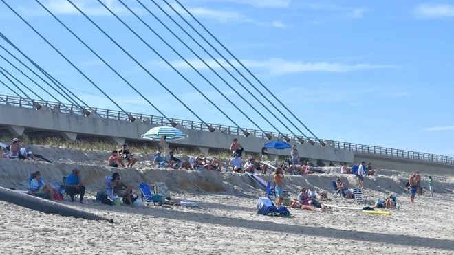
• The north side beach, located just beyond the Charles W. Cullen Bridge, experienced significant overwash and dune loss
• Delaware’s Department of Transportation and Emergency Management teams were mobilized in advance to monitor and respond to the flooding
Storm Surge and Flooding Conditions
• Hurricane Erin’s proximity to the mid-Atlantic coast generated wave heights of 15 to 20 feet, with sustained winds near 100 mph offshore
• The surge coincided with evening high tide, amplifying water levels and forcing the closure of key transportation arteries
• Water from the ocean breached the dunes and flowed into low-lying marsh areas, inundating roads and beach access points
• The flooding was described by local observers as among the worst in recent years, with some calling it the biggest they had ever seen
Infrastructure and Emergency Response
• The Department of Natural Resources and Environmental Control (DNREC) worked closely with DelDOT and state emergency agencies to prepare for the storm
• Equipment was pre-positioned near the inlet to manage debris and restore access once waters receded
• Coastal Highway was reopened on August 22 after water levels dropped, but officials warned of continued vulnerability during upcoming high tides
• DNREC confirmed that erosion assessments and dune restoration planning are underway
Environmental and Long-Term Concerns
• The north side beach at Indian River Inlet is one of the most erosion-prone areas along Delaware’s Atlantic coast
• The narrow land strip between the ocean and bays makes it highly susceptible to overwash during storm events
• Environmental experts have raised concerns about the cumulative impact of repeated flooding on dune integrity and habitat loss
• The area serves as a critical buffer for inland communities and infrastructure, making its preservation a priority for state agencies
Community Impact and Public Safety
• Residents and visitors were advised to avoid flooded areas and refrain from entering the water due to dangerous rip currents
• Emergency alerts were issued across Sussex County, with advisories for property owners to secure belongings and relocate vehicles
• The flooding disrupted travel and recreational activities, with beachgoers forced to evacuate and local businesses temporarily shuttered
• Officials emphasized the importance of preparedness and awareness as hurricane season continues
Conclusion
Hurricane Erin’s offshore trajectory spared Delaware from a direct hit, but its effects were deeply felt at the Indian River Inlet’s north side beach. The combination of high tide, storm surge, and powerful waves led to flooding, erosion, and infrastructure disruption. As recovery efforts begin and assessments unfold, the event serves as a stark reminder of the region’s vulnerability and the need for sustained coastal resilience planning.
Sources: Delaware News Journal, USA Today, IQAir Climate Alerts.
Advertisement
Advertisement