 Image Source: Youtube
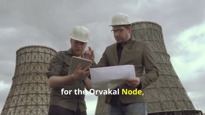
The Andhra Pradesh government has released the final master plan of the Orvakal Node, a significant development in the Hyderabad–Bengaluru Industrial Corridor (HBIC). Spanning an area of 9,719 acres of land in Kurnool district, the plan aims at promoting industrial growth while also featuring residential, commercial, and green infrastructure.
Important Points from the Master Plan:
-
52% of the land—approximately 5,017 acres—is to be used for phased industrial development.
-
Phasewise development includes 1,424 acres in Phase I, 3,594 acres in Phase II, and the balance in Phase III.
-
The remaining 4,702 acres will be utilized for residential areas, business centers, transport corridors, utilities, and recreational areas.
Strategic Planning and Implementation:
-
Implementation of the plan has been entrusted in the Andhra Pradesh Industrial Corridor Development Authority (APICDA) after it is formally approved through G.O. Ms. No. 121.
-
The Orvakal Node would be a lifeline between south and central India, driving regional trade and logistics.
-
The plan is a component of the larger HBIC vision to propel economic activity in Andhra Pradesh, Telangana, and Karnataka.
Infrastructure and Connectivity
-
The node is wellpositioned near NH40, NH44, and Kurnool Airport, and Krishnapatnam Port is only 320 km from the site.
-
There are projected infrastructures like roads, institutional spaces, water bodies, and green belts to enable urbanindustrial integration sustainably.
This master plan is a watershed in transforming Orvakal into a highpotential industrial cluster with longterm economic and employment dividends.
Sources: The Hindu, Devdiscourse, NICDC, Hindustan Times Telugu
Advertisement
Advertisement


