A new study published in PNAS reveals that scientists have successfully used high-frequency NASA and ESA satellite observations to track the real-time "urban pulse" of six global cities. The data shows that city development occurs in sudden, asynchronous bursts, offering planners an EKG-like diagnostic tool to monitor urban health.
WASHINGTON — In a major advancement for urban science, international researchers have successfully utilized dense satellite observations to detect a distinct, real-time "urban pulse" across six major global cities. The study, published in the Proceedings of the National Academy of Sciences (PNAS) on June 18, 2026, marks a fundamental shift away from static data tracking, such as yearly censuses or annual economic figures. By leveraging continuous Earth-observing satellite data, scientists can now monitor high-frequency metabolic changes—including construction, infrastructure upgrades, and demolitions—as they unfold at a neighborhood level.
The Three Vital Signs of Modern Urban Landscapes
The multi-institutional research team analyzed decades of dense time-series data obtained from the NASA Harmonized Landsat and Sentinel-2 (HLS) datasets. To test their diagnostic framework, scientists tracked six geographically and economically diverse metropolises: Seattle, Shenzhen, Lagos, Mumbai, Dubai, and Mexico City.
Despite vast differences in local governance, wealth, and climate, the satellite observations revealed that all six global cities share three distinct structural rhythms:
Spiky Growth: Urbanization does not advance at a smooth or continuous rate. Instead, it occurs in abrupt, high-magnitude bursts. These intense spikes indicate concentrated capital investments, such as master-planned megaprojects or rapid infrastructure rollouts, followed by long periods of baseline inactivity.
Cyclical Patters: Growth moves through distinct phases of expansion, stabilization, and dormancy. However, these cycles operate independently of normal seasonal or calendar-year timelines.
Asynchronous Development: Cities do not grow in unison. Sub-city neighborhoods develop completely out of sync with one another. Researchers noted that this uncoordinated rhythm is actually a structural benefit, preventing local labor markets and municipal infrastructure from overheating under simultaneous strain.
What Satellite EKGs Revealed About the COVID-19 Pandemic
To demonstrate the real-time utility of the urban pulse framework, the study mapped how the six cities responded to major global disruptions. The satellite data precisely captured the moment the COVID-19 pandemic initiated a synchronized slowdown in urban development worldwide—a phenomenon the authors compared to a global "cardiac arrest" in physical construction.
However, the recovery paths documented by the satellites varied significantly based on local conditions. While Shenzhen exhibited a sharp, coordinated dip followed by an immediate, state-led policy rebound, cities like Mumbai and Mexico City displayed far more muted and uneven recoveries. According to the research findings, several neighborhoods have permanently altered their development rhythms or failed to return to their pre-pandemic baselines.
Practical Impacts on Policy, Planning, and Citizens
The introduction of the urban pulse framework provides municipal governments and environmental groups with an early warning system. Historically, issues like urban decay or uncontrolled sprawl were only detected after becoming advanced problems on the ground. By monitoring the rhythm and amplitude of neighborhood growth from space, officials can intervene before local structural imbalances turn into full-blown economic or environmental crises.
For ordinary citizens and business owners, public access to near real-time urban pulse metrics could change everyday decision-making. Prospective homeowners could evaluate the true economic vitality of a neighborhood before buying, while commercial investors could precisely track where consumer infrastructure is expanding.
Official Sources Section
The data, methodologies, and conclusions presented in this report are based entirely on the peer-reviewed study published in the Proceedings of the National Academy of Sciences (PNAS) and formal statements released by the University of Connecticut and the Yale School of the Environment.
Quote Section
"The urban pulse measures the high-frequency process of development, and therefore we can spot early warning signs of economic stress or stagnation before they become full-blown crises," stated study lead author Zhe Zhu, a professor of remote sensing at the University of Connecticut. "We compare traditional metrics to looking at a heart attack—the outcome—whereas the 'urban pulse' is like monitoring the daily lifestyle and vital signs leading up to that heart attack."
Why It Matters
This technology bridges the gap between abstract urban planning theories and measurable physical changes. It gives policymakers the ability to diagnose the economic and physical health of cities in near real-time, drastically reducing the data lag that hampers modern infrastructure management.
Key Facts at a Glance
The Framework: "Urban Pulse" uses continuous NASA and European Space Agency satellite data to monitor municipal changes like an EKG monitors a heart.
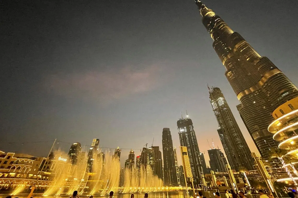
The Cities Studied: Test subjects included Seattle, Shenzhen, Lagos, Mumbai, Dubai, and Mexico City.
The Core Discovery: Urbanization is naturally "spiky" and asynchronous, meaning neighborhoods grow via short, uncoordinated bursts rather than smooth, unified expansion.
The Pandemic Impact: The framework captured a global "cardiac arrest" in construction in 2020, followed by highly unequal recovery rates across different global regions.
FAQ Section
Q1: What exactly does the satellite data measure to calculate a city's pulse?
A1: The framework utilizes a metric called Capital Infrastructure and Real Assets (CIRA). It tracks surface-level physical alterations including new building construction, demolition, road repairs, major infrastructure projects, and expansion into green spaces.
Q2: Why is it beneficial for different city neighborhoods to grow out of sync?
A2: If every neighborhood underwent a construction or development boom at the exact same time, it would cause massive supply shortages, overload local utility networks, and trigger inflation in local labor markets. Asynchronous growth acts as a natural buffer.
Q3: How can an everyday citizen use urban pulse data?
A3: Citizens can use it as a transparency tool to monitor neighborhood health. For instance, someone looking to open a business or purchase a house could check the local pulse to ensure their chosen area is experiencing steady structural activity rather than stagnation or rapid decline.
Source: Proceedings of the National Academy of Sciences, University of Connecticut Today, Yale School of the Environment News Desk