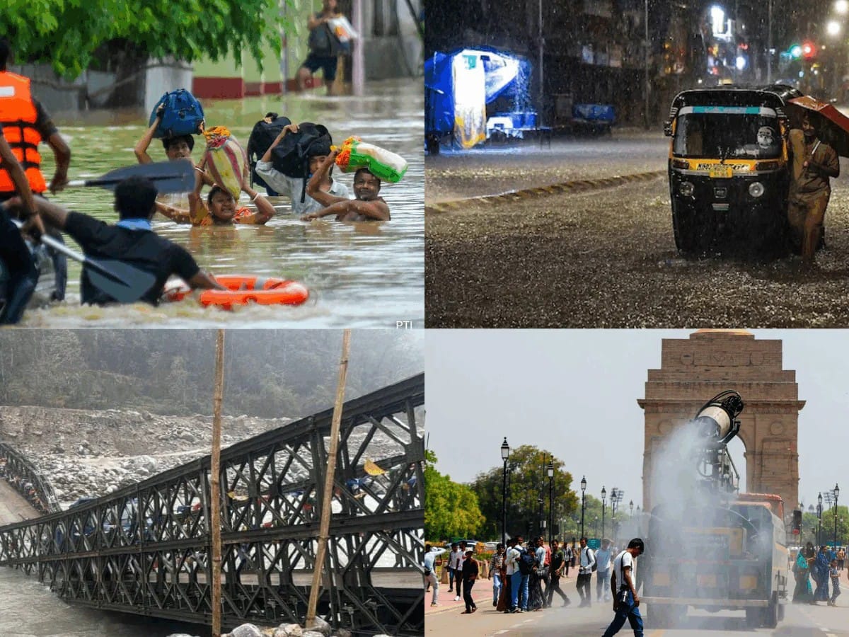
India’s 2026 southwest monsoon is exhibiting extreme regional imbalances due to a northward migration of the monsoon trough line. While high-altitude sectors in Uttarakhand face severe flash floods, crucial agrarian plains in western Uttar Pradesh and Delhi remain dry and humid, complicating crop cycles and straining municipal power grids.
NEW DELHI — India’s critical agricultural lifeline is exhibiting starkly polarized behavior, as latest observations from the India Meteorological Department (IMD) detail an increasingly uneven monsoon layout across the country. In mid-July 2026, severe flash floods, cloudbursts, and landslides are battering the northern hill states of Uttarakhand and Jammu and Kashmir, leaving key transport corridors blocked. Concurrently, the strategic agricultural heartlands of the National Capital Region (NCR), Punjab, Haryana, and western Uttar Pradesh are grappling with an expansive dry spell and below-normal precipitation, highlighting a profound disruption in seasonal wind dynamics.
Meteorologists warn that the national cumulative rainfall deficit, which oscillated at 14% below the Long Period Average (LPA) earlier in July, is driven by structural shifts in the position of the monsoon trough. Instead of distributing moisture evenly across the Indo-Gangetic plains, the low-pressure rain belt has repeatedly migrated north toward the Himalayan foothills, dumping catastrophic volumes of water on vulnerable high-altitude terrains while leaving the adjoining plains unusually parched.
India Uneven Monsoon Layout: Decoding the Meteorological Divide
1. The Northward Shift of the Monsoon Trough
The primary engine of India's seasonal rain is the monsoon trough—a prolonged belt of low pressure that pulls moist maritime air inland. Official IMD bulletins note that the eastern end of this trough has consistently drifted north of its normal position. This alignment focuses deep, moisture-laden convective systems directly against the steep mountain typography of Northern India, triggering rapid orographic precipitation (rain caused by air cooling as it rises over mountains) while depriving downstream plain regions of steady showers.
2. High-Altitude Deluges vs. Plain-State Deficits
The practical consequence of this shifting trough is a glaring geographic discrepancy. In Uttarakhand, authorities issued red alerts after massive localized cloudbursts submerged urban structures in Pahalgam and cut off major highways. Meanwhile, major food-producing belts across western Uttar Pradesh, Punjab, and Haryana have experienced prolonged, hot and humid intervals with only isolated to scattered showers.
3. The Transitory Role of Global Climate Shifters
The initial phases of the 2026 southwest monsoon have been heavily influenced by a delicate global climate transition. According to institutional frameworks tracked by the IMD's Climate Diagnostic centers, weak La Niña-like conditions in the equatorial Pacific Ocean have been slowly transitioning toward ENSO-neutral states. This lack of a strong, overarching global driver has amplified regional anomalies, allowing localized low-pressure systems to stall over specific territories like Central India and the sub-Himalayan belt while stalling the advance elsewhere.
Impact on Citizens, Agriculture, and Energy Infrastructure
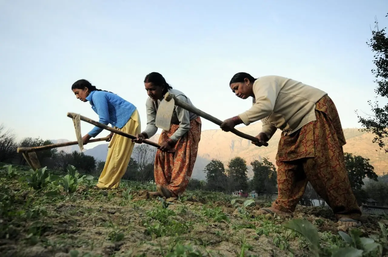
For agrarian communities across Northwest India, an uneven monsoon poses immediate fiscal challenges. Farmers in western Uttar Pradesh and Punjab have been forced to rely heavily on diesel and electrical groundwater pumping to keep newly transplanted paddy fields submerged, driving up initial input costs.
For urban consumers and city travelers, the atmospheric imbalance presents dual vulnerabilities:
Hilly Corridors: Travelers face sudden highway closures and structural delays due to fast-moving debris flows in Uttarakhand.
Metropolitan Plain Hubs: Residents in Delhi and nearby cities are experiencing severe power peak loads as ambient humidity spikes alongside high maximum temperatures, forcing intensive air conditioner usage amidst dry conditions.
Official Sources Section
The detailed climate summaries and regional weather tracking cited in this article are derived directly from the India Meteorological Department (IMD), specialized datasets published via the Ministry of Earth Sciences, and agricultural advisory indices updated by the National Press Information Bureau (PIB).
Quote Section
"According to officials from the regional weather forecasting centers, the macro-level rainfall numbers fail to convey the localized reality of this year's weather pattern. While central reservoir clusters have recovered due to early western depressions, the extreme localization of heavy rain in the hills alongside zero precipitation in parts of the northern plains highlights a classic uneven monsoon fingerprint that complicates river basin management and crop planning."
Why It Matters
Understanding the dynamics of an uneven monsoon layout is critical for economic security. When rainfall skips major agrarian zones during the crucial mid-summer sowing window, it forces adjustments in grain buffer projections and strains rural consumption. Concurrently, hyper-concentrated deluges in the north require immediate disaster response funds, proving that total seasonal rainfall quantities matter far less than spatial distribution.
Key Facts at a Glance
Trough Anomaly: The eastern end of the low-pressure monsoon trough has shifted persistently north of its standard coordinates, creating a direct moisture pipeline to the mountains.
High-Altitude Emergency: Extreme cloudbursts and localized flooding in mid-July blocked over 120 key transport arteries throughout Uttarakhand and Jammu.
Plains Rainfall Deficit: Crucial agricultural sub-divisions, including western Uttar Pradesh and Punjab, continue to report subdued weekly rainfall activity.
Global Transition: Weak La Niña configurations transitioning to neutral ENSO levels have disrupted traditional structural wind continuity across the subcontinent.
FAQ Section
Q1: Why is it flooding in the mountains while Delhi and Punjab remain dry?
A: This occurs because the low-pressure monsoon trough has moved north toward the Himalayas. When the moisture-rich winds hit the tall mountains, they are forced upwards rapidly, condensing into intense, heavy rain and cloudbursts. The plains to the south are left in a temporary rain shadow or area of suppressed atmospheric lifting, resulting in dry, humid conditions.
Q2: How does an uneven monsoon affect food prices in India?
A: If key rice-growing states like Uttar Pradesh or Punjab experience prolonged dry spells during July, farmers must spend more on artificial irrigation. If the dry spell extends too long, it can lower overall crop yields, straining government grain reserves and putting upward pressure on food prices.
Q3: Is this erratic monsoon pattern related to climate change?
A: According to climate scientists and long-range IMD models, rising global temperatures increase the moisture-holding capacity of the atmosphere. This often manifests as longer dry spells punctuated by short, highly concentrated bursts of extreme rainfall, making the seasonal distribution highly erratic.
Source: India Meteorological Department (IMD), Ministry of Earth Sciences, Press Information Bureau (PIB) Government of India.