


Loading market data...
ADVERTISEMENT

Latest Top News
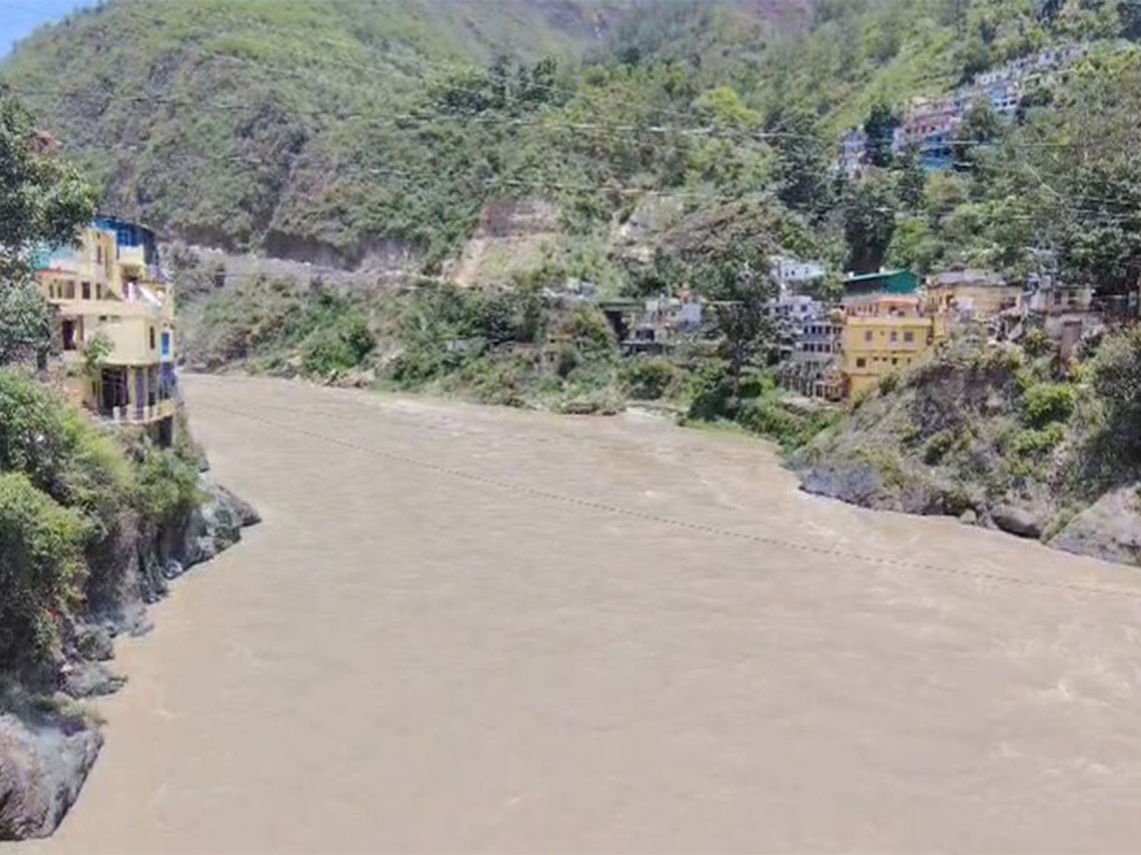
Uttarakhand on High Alert as Alaknanda and Mandakini Rivers Swell
Continuous heavy rainfall in Uttarakhand’s upper reaches has caused the Alaknanda and Mandakini rivers to swell. While water levels remain below the danger mark, the administration has issued high alerts for Chamoli and Rudraprayag. Pilgrims and residents are urged to avoid vulnerable areas as disaster teams monitor rising inflows.
Stay Ahead – Explore Now! Omaxe to Invest ₹62 Billion in Hospitality Expansion Program
ADVERTISEMENT

Latest Updates

Astronaut Shubhanshu Shukla Details Space Triumphs...
04 Jul 2026, 11:35 PM
'Kyunki Saas Bhi Kabhi Bahu Thi' Cast Reunites for...
04 Jul 2026, 11:37 PM
Sonam Kapoor Shares Glimpses of Anshula Kapoor’s M...
04 Jul 2026, 11:40 PM
18 Assam Armwrestlers Join India Squad for World C...
04 Jul 2026, 11:43 PM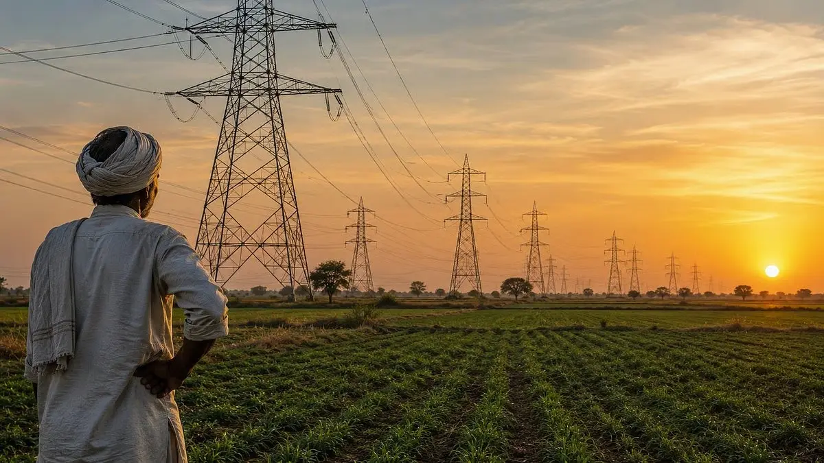
Gujarat Hikes Compensation for Farmers Amid Power...
04 Jul 2026, 11:47 PMADVERTISEMENT

Top Stories
Astronaut Shubhanshu Shukla Details Space Triumphs...
04 Jul 2026, 11:35 PM
'Kyunki Saas Bhi Kabhi Bahu Thi' Cast Reunites for...
04 Jul 2026, 11:37 PM
Sonam Kapoor Shares Glimpses of Anshula Kapoor’s M...
04 Jul 2026, 11:40 PM