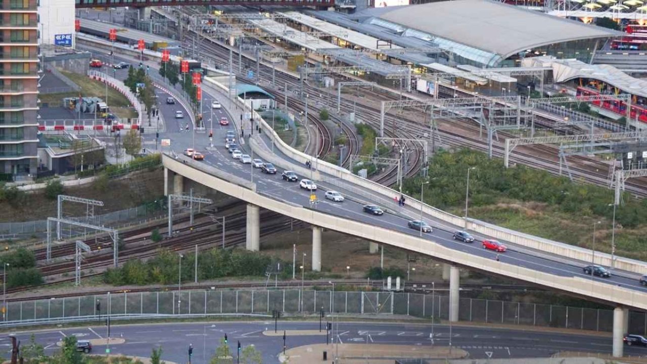
Envisioned in the 1991 development plan, the long-delayed Vidyavihar Flyover is scheduled to open by August 31, 2026. The ₹178-crore engineering project, overseen by the Brihanmumbai Municipal Corporation (BMC), will connect Lal Bahadur Shastri Marg with Ramchandra Chemburkar Marg, bypassing major traffic choke-points.
MUMBAI, INDIA — In a major development for the city's vehicular infrastructure, the Brihanmumbai Municipal Corporation (BMC) has formally set August 31, 2026, as the final completion deadline for the long-delayed Vidyavihar Flyover. The infrastructure milestone will establish a direct east-west corridor, dramatically shifting traffic movement across the central suburbs.
First incorporated into Mumbai's Development Plan (DP) regulations in 1991, the structural link has faced more than three decades of planning revisions, design alterations, and railway clearance hurdles. Once operational next month, the new bridge will allow motorists to cut transit times across Vidyavihar from the current 40-to-45-minute detour down to less than 10 minutes, significantly modifying daily travel patterns for lakhs of commuters.
Engineering Specifications and Strategic Connectivity
The high-capacity vehicular link extends to a total length of 650 meters, establishing a critical structural crossing above active railway tracks. According to design blueprints released by the Brihanmumbai Municipal Corporation (BMC), the flyover comprises a four-lane dual carriageway configuration built to withstand heavy daily passenger volumes.
The primary engineering achievement of the project centers on its unique open-web steel girder layout, which spans 100 meters directly over the busy Central Railway tracks. This element represents the longest individual railway-span girder built inside the municipality.
The structural blueprint features:
A 220-meter integrated approach road expanding on the eastern sector.
A 330-meter matching approach ramp descending on the western boundary.
Dedicated pedestrian walkways running parallel to both sides of the main driving lanes.
The flyover provides a direct geographical link connecting Lal Bahadur Shastri (LBS) Marg in the west with Ramchandra Chemburkar Marg in the east. By opening this link, the city will systematically divert vehicular traffic away from overloaded alternative corridors, notably easing pressure on the Santacruz-Chembur Link Road (SCLR) and the main traffic bottlenecks surrounding the Kurla and Ghatkopar suburban junctions.
Final Phase Construction and Station Integration
With approximately 80% of the core civil construction officially finished, the project has entered its final engineering phase. On-site tasks currently focus on installing reinforced anti-crash barriers, assembling modern high-illumination streetlights, laying final asphalt layers, and completing deck slab works.
To optimize public transit utility, the BMC has integrated the flyover's footpaths directly with the nearby Vidyavihar railway station premises. Pedestrians will gain direct access to the station’s main foot overbridge (FOB) via newly constructed staircases.
As part of these allied station upgrades, the civic body has also rebuilt the local station master’s office and modern booking counters on both sides of the tracks to create a cleaner, better-organized suburban transport hub.
Traffic Management and Environmental Mitigation
To prevent localized bottlenecks as the flyover begins operation, municipal engineers are working closely with the Mumbai Traffic Police. Ongoing field planning is targeting the removal of structural obstructions and the regulation of roadside parking zones on both approach roads.
The project has also completed extensive environmental compliance steps. Design modifications for the approach roads required the handling of 213 trees falling along the right-of-way.
To offset this footprint, the Ministry of Environment, Government of Maharashtra mandated a compensatory afforestation drive. This program has seen the planting of 2,278 trees on a dedicated 2.05-hectare reserve plot in Panvel, supported by a seven-year maintenance contract financed through a ₹1.99-crore environmental mitigation allocation.
Official Sources Section
The underlying dimensions, structural project updates, and operational timelines are verified through official announcements and site progress updates published by the Brihanmumbai Municipal Corporation (BMC). Technical specifications regarding the central railway span conform to structural compliance reports cleared by the Ministry of Railways.
Quote Section
Following an institutional inspection of the pending girder spans, Additional Municipal Commissioner (Projects) Abhijit Bangar stated:
“The flyover is expected to provide relief to commuters travelling between the eastern and western suburbs. It will also ease the traffic burden on the Santacruz-Chembur Link Road.”
Civic engineers have been directed to deploy additional manpower and machinery to wrap up the remaining asphalt work despite active monsoon weather conditions.
Why It Matters
For daily commuters and motorists in the eastern suburbs, the August 31 opening ends decades of relying on long, congested detours, cutting intraday travel times significantly. For local businesses and transport operators, the improved cross-suburban link reduces fuel waste and enhances logistics efficiency along the industrial LBS Marg corridor. Furthermore, for tens of thousands of daily rail passengers, the direct pedestrian links between the flyover and the station platforms will streamline the morning and evening rush, separating foot traffic from mainline vehicular lanes.
Key Facts at a Glance
Historic Timeline: First proposed in the 1991 Mumbai Development Plan, the flyover is now entering its final stretch for an August 31 launch.
Travel Impact: Reduces the cross-suburban travel time between Vidyavihar East and West from 45 minutes down to less than 10 minutes.
Engineering Milestone: Features a 100-meter open-web steel girder span, the longest of its kind over railway tracks in the city.
Pedestrian Integration: Includes wide footpaths and direct staircase links to the platform structures of Vidyavihar railway station.
Network Relief: Designed to ease heavy bumper-to-bumper traffic on the Santacruz-Chembur Link Road (SCLR) and surrounding arterial nodes.
FAQ Section
Why did the Vidyavihar Flyover project take 35 years to complete?
First envisioned in 1991, the project faced extended delays due to challenging land acquisitions, design modifications for its massive 100-meter railway span, pandemic interruptions, and the complex task of securing safety blocks from the Central Railway to launch girders above active tracks.
Which major roads are directly connected by the new flyover?
The 650-meter bridge creates a direct elevated connection between Lal Bahadur Shastri (LBS) Marg on the western side and Ramchandra Chemburkar Marg on the eastern side.
Can pedestrians use the new bridge to access the local railway station?
Yes. The flyover includes dedicated pedestrian walkways on both sides, which link directly to the foot overbridges and subways of the Vidyavihar railway station.
Source: Brihanmumbai Municipal Corporation (BMC); Ministry of Railways, Government of India; Ministry of Environment, Government of Maharashtra; Brihanmumbai Civic Engineering Review Department.