Bengaluru’s urban planners emphasize that long-term traffic relief requires the integration of three distinct transport systems: Namma Metro, the BSRP suburban rail, and the Satellite Town Ring Road. Operating as a unified mobility triangle, this framework isolates heavy freight, moves regional workers quickly, and keeps local city traffic flowing efficiently.
BENGALURU — Urban mobility experts and state planners have issued a strategic warning: Bengaluru cannot engineer its way out of traffic congestion by relying on independent, siloed transport networks. Instead, the city urgently requires the simultaneous completion and operational integration of all three sides of its structural "Mobility Triangle"—consisting of the intra-city Namma Metro, the inter-town Bengaluru Suburban Rail Project (BSRP), and the peripheral Satellite Town Ring Road (STRR) alongside the Bengaluru Business Corridor.
With the city’s vehicular population surpassing 1.3 crore in 2026, transport authorities assert that missing even one side of this tripartite transit layout will cause the others to buckle under localized travel demand.
Deconstructing the Three Sides of Bengaluru's Mobility Grid
The structural geometry of Bengaluru’s traffic crisis requires three distinct tiers of transit, each designed for a specific commuting range and cargo load. When these tiers operate as an interdependent triangle, they intercept congestion before it enters the municipal core.
Side 1: The Peripheral Highway Arc (STRR & Business Corridor)
The outer boundary of the triangle is designed to isolate heavy freight and inter-state logistics from local commuter lanes. Managed via the National Highways Authority of India (NHAI), the Satellite Town Ring Road (STRR) forms an expansive 4- to 6-lane, 90-metre-wide right-of-way corridor encircling the metropolitan borders.
The northern segments, covering 80 kilometers from Dobbasapete through Doddaballapur to Hoskote, are fully functional and divert thousands of freight trucks daily away from internal arterial roads like the Outer Ring Road (ORR) and Ballari Road.
Side 2: The Regional Rail Inter-Connect (BSRP)
Operated by the joint venture K-RIDE, the Bengaluru Suburban Rail Project (BSRP) forms the second side of the triangle, catering to high-speed, long-distance regional commuters traveling between the core city and satellite industrial clusters.
The 148-kilometer network is divided into four flower-themed corridors—Sampige, Mallige, Parijaata, and Kanaka—which abbreviate to the Kannada word Samparka (meaning connectivity). Construction on the Mallige line (Benniganahalli to Chikkabanavara) and the Kanaka line (Heelalige to Rajanakunte) is underway with target openings set for March 2027, creating vital high-volume pathways for industrial workers.
Side 3: The High-Density Core (Namma Metro)
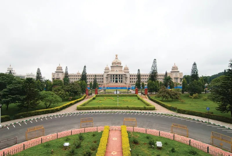
The third and final leg of the triangle is the inner rapid transit system handled by the Bangalore Metro Rail Corporation Limited (BMRCL). Namma Metro operates as the high-capacity intra-city spine, running on dedicated, elevated, and underground tracks to bypass surface street intersections entirely. Following the operational rollout of the electronic city segment on the Yellow Line, the network stands as India's third-largest rapid transit grid, carrying millions of daily white-collar and commercial commuters directly into core economic zones.
Multi-Modal Integration and Real Estate Shifting
The core objective of the mobility triangle is seamless intermodal transition. New infrastructure blueprints require BSRP suburban stations to serve as physical commercial hubs directly connected to Namma Metro platforms. For instance, interchange nodes at Benniganahalli and Yesvantpur are being systematically redesigned with automated fare collection systems and shared pedestrian skywalks, allowing a traveler to disembark from a regional train and board a metro coach within 90 seconds.
This comprehensive accessibility is fundamentally altering the regional real estate layout. The functional Doddaballapur-Hoskote ring road arc has accelerated land development near the Kempegowda International Airport and the adjacent aerospace parks. Logistics firms and manufacturing facilities are setting up operations along the peripheral highway boundaries, shifting heavy commercial real estate demand entirely outside municipal borders.
Official Sources Section
Infrastructure timelines, budgetary allocations, and alignment coordinates remain anchored to the official project data published by the Ministry of Housing and Urban Affairs (MoHUA), construction status updates from K-RIDE, and regional land acquisition notifications managed by the Bangalore Development Authority (BDA).
Quote Section
"A city of Bengaluru’s geographical scale cannot rely solely on metro rail expansions to address vehicular density," stated an infrastructure analyst with the Directorate of Urban Land Transport (DULT). "If you only build the inner metro without completing the outer STRR, heavy multi-axle trucks will continue to clog up internal commuter corridors like the Silk Board junction. Bengaluru needs all three sides of the mobility triangle functioning simultaneously to balance industrial freight, regional employment transit, and short-range neighborhood commuting."
Why It Matters
For everyday citizens and corporate businesses, the completion of this mobility triangle shifts the daily commute from private vehicles to organized public transit. It reduces average travel times across the metropolitan area, slashes industrial logistics overheads, and dramatically lowers carbon emissions. By preventing inter-state commercial traffic from cutting through urban residential sectors, the triangle effectively decongests local roads, creating a predictable, scalable infrastructure framework that supports long-term economic investment.
Key Facts at a Glance
Tripartite Strategy: Bengaluru's long-term traffic remediation depends on balancing three systems: Namma Metro, BSRP suburban rail, and outer ring highways.
Freight Diversion: The fully functional 80 km northern arc of the Satellite Town Ring Road (STRR) systematically diverts heavy commercial trucks from inner-city lanes.
Suburban Timeline: Pre-construction and structural works on BSRP’s Mallige and Kanaka lines are progressing toward a targeted operational deployment by March 2027.
Metro Expansion: The union cabinet's approval of the ₹15,611-crore Metro Phase 3 adds 44.65 km of fresh lines along Outer Ring Road West and Magadi Road to anchor the inner spine.
Frequently Asked Questions
What exactly is the "three sides of the triangle" concept for Bengaluru?
It refers to the three distinct layers of transport infrastructure required to manage the city's traffic: the outer STRR highway for industrial bypass, the BSRP suburban rail for regional commuting, and the Namma Metro for high-density intra-city transit.
When will the Bengaluru Suburban Rail Project (BSRP) lines open?
The Mallige line (Line 2) and the Kanaka line (Line 4) are currently on track for a March 2027 opening deadline, while the remaining corridors are projected for completion closer to 2030.
How does the Satellite Town Ring Road (STRR) help everyday city commuters?
By providing an alternative high-speed transit arc around metropolitan borders for multi-axle freight trucks, the STRR keeps heavy logistics traffic off local roads, directly reducing bottlenecks for city drivers.
Source: Bangalore Metro Rail Corporation Limited Project Files, K-RIDE BSRP Operational Reports, and NHAI National Highway Status Briefings