


Follow WOWNEWS 24x7 on:


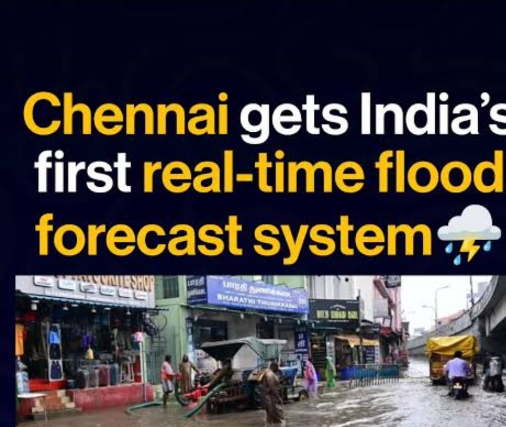
Chennai has launched India’s first real-time flood forecasting and spatial decision support system (RTFF & SDSS), a ₹107.2 crore initiative aimed at predicting river levels and street-level inundation. Covering five districts, the system enhances disaster preparedness and urban resilience, especially during monsoons.
Show moreStay Ahead – Explore Now! Bharat Forecasting System Sets New Benchmark in Hyperlocal Weather Prediction


Follow WOWNEWS 24x7 on:


Copyright 2024 WOWNEWS 24x7. All rights reserved. The WOWNEWS 24x7 is not responsible for the content of external sites. Read about our approach to external linking.
Powered By Just Imagine
