


Loading market data...
ADVERTISEMENT

Latest Top News
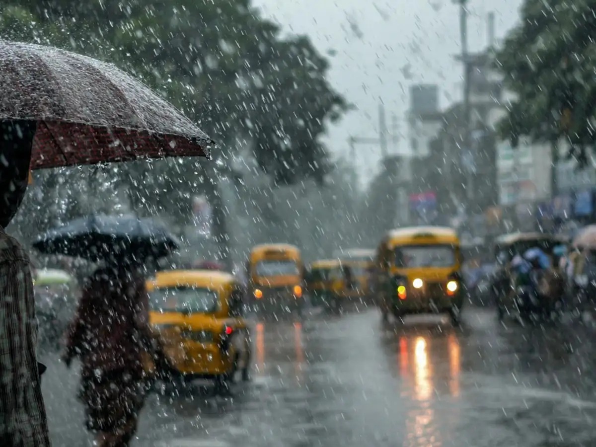
West Bengal Braces for Deluge as IMD Issues Red Alert for Rains
The IMD has issued a red alert for South 24 Parganas and Purba Medinipur districts in West Bengal due to an intensifying low-pressure system over the Bay of Bengal. Extremely heavy rainfall is expected across southern West Bengal, prompting authorities to deploy disaster management teams and sound high-level alerts.
Stay Ahead – Explore Now! South City International School Launches ‘City Corpus 4.0’ Initiative
ADVERTISEMENT

Latest Updates

Vidya Balan Recalls Her Mother’s Reaction to 'Hum...
04 Jul 2026, 06:23 PM
Railways Now Allows Vande Bharat Bookings 15 Minut...
04 Jul 2026, 06:21 PM
WhatsApp Rolls Out Standalone iPad Support, Removi...
04 Jul 2026, 06:17 PM
Diljit Dosanjh’s 'Satluj' Released Uncut After 3-Y...
04 Jul 2026, 06:12 PM
Coca-Cola Invites Banks for $1 Billion India Bottl...
04 Jul 2026, 03:34 PMADVERTISEMENT

Top Stories
Vidya Balan Recalls Her Mother’s Reaction to 'Hum...
04 Jul 2026, 06:23 PM
Railways Now Allows Vande Bharat Bookings 15 Minut...
04 Jul 2026, 06:21 PM
WhatsApp Rolls Out Standalone iPad Support, Removi...
04 Jul 2026, 06:17 PM