


Loading market data...
ADVERTISEMENT

Latest Top News
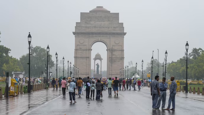
Delhi Weather: When Will Monsoon Reach National Capital?
This news report covers the delayed arrival of the southwest monsoon in New Delhi for the 2026 season. While the system reached Kerala on June 4, its progress northward has stalled due to weak pressure systems and a transition toward El Niño conditions. Meteorologists project below-normal seasonal rainfall, creating potential water and agricultural challenges for Northwest India.
Stay Ahead – Explore Now! Haryana Urges Private Sector to Adopt Work-From-Home to Save Energy
ADVERTISEMENT

Latest Updates

Vivek Aggarwal Appointed FATF Vice President in Ma...
21 Jun 2026, 11:25 PM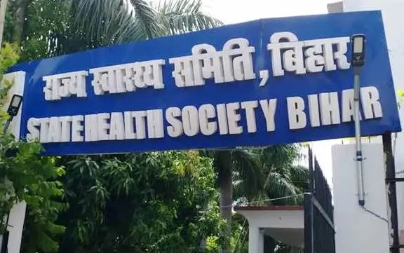
Bihar Plans Green Zones and Tree Plantation at Hos...
21 Jun 2026, 11:21 PM
Jaipur Gets Amrit Bharat Express to Darbhanga From...
21 Jun 2026, 11:16 PM
Who Is the Richest Player at World Cup 2026? Googl...
21 Jun 2026, 08:14 PM
Apple MacBook Neo Available at Rs 60,490 via Vijay...
21 Jun 2026, 08:03 PMADVERTISEMENT

Top Stories
Vivek Aggarwal Appointed FATF Vice President in Ma...
21 Jun 2026, 11:25 PM
Bihar Plans Green Zones and Tree Plantation at Hos...
21 Jun 2026, 11:21 PM
Jaipur Gets Amrit Bharat Express to Darbhanga From...
21 Jun 2026, 11:16 PM