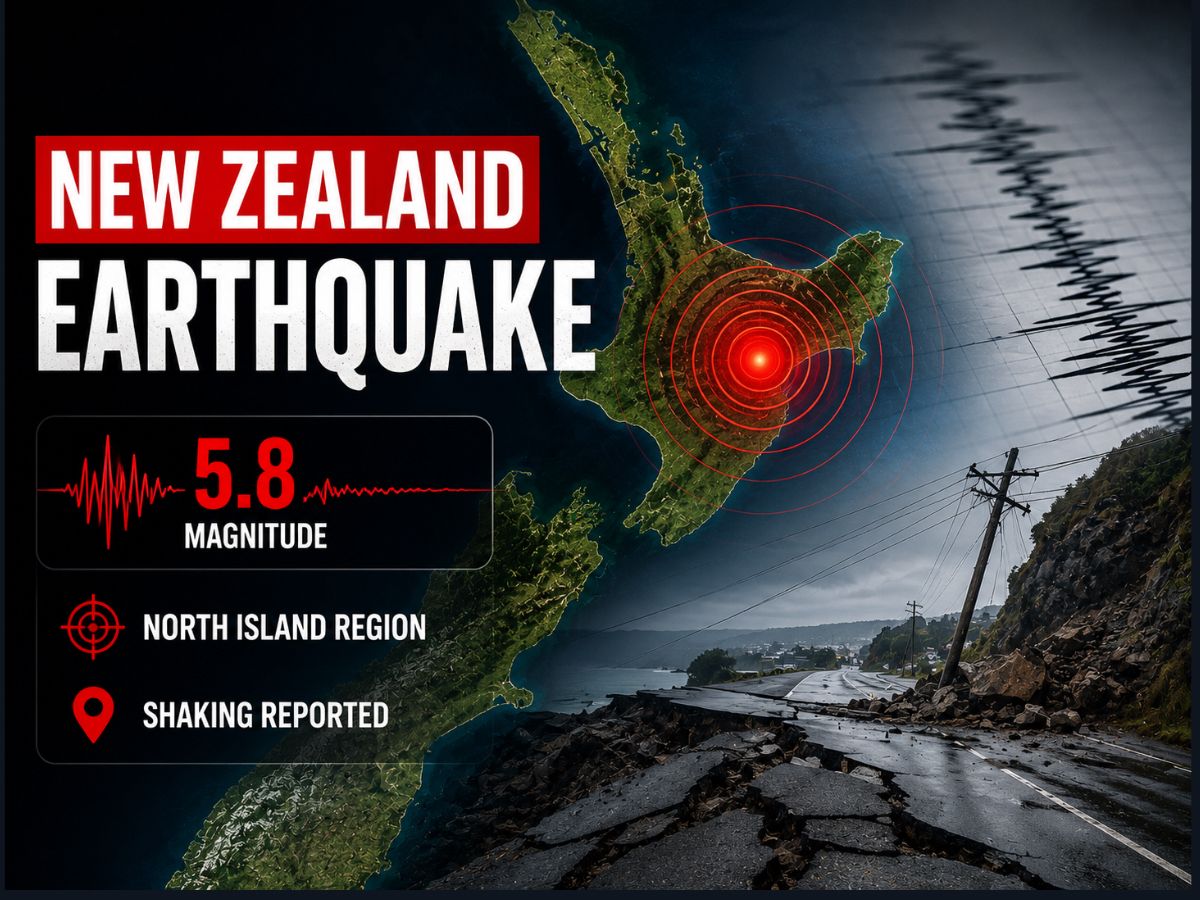
A magnitude 5.8 earthquake struck New Zealand's North Island region at a depth of 10 km, according to the EMSC. While the shallow tremor caused noticeable shaking across local communities, initial assessments confirmed no major structural damage or immediate emergency threats.
A magnitude 5.8 earthquake struck the North Island region of New Zealand on Friday, according to the European-Mediterranean Seismological Centre (EMSC).
A moderate yet shallow seismic event rattled the North Island region of New Zealand on Friday, July 24, 2026, prompting brief concern among residents across coastal and interior districts. According to the European-Mediterranean Seismological Centre (EMSC), the earthquake registered a magnitude of 5.8 and struck at a shallow depth of 10 kilometers (6.21 miles). Located within New Zealand’s seismically active tectonic boundary zone, the tremor was felt across local communities, though initial emergency assessments indicated no immediate reports of widespread structural damage or major casualties.
Seismological Profile and Technical Breakdown
According to official parameters published by monitoring agencies, the technical metrics of the tremor highlight a shallow focus typical of regional subduction zone activity.
Epicenter and Region: The seismic disturbance centered on the North Island region of New Zealand, an area frequently impacted by Pacific-Australian plate interactions.
Depth Configuration: Seismologists measured the hypocenter at a shallow depth of 10 km (6.21 miles), which often intensifies localized shaking near the epicenter.
Magnitude Scale: Evaluated at 5.8 magnitude by the EMSC, the energy release was sufficient to cause moderate ground motion across nearby towns without triggering major national emergency advisories.
Regional Preparedness and Infrastructure Impact
New Zealand maintains some of the world's strictest building codes and rapid seismic response frameworks, mitigating risks associated with moderate-to-high magnitude tremors. Local civil defense authorities and regional councils immediately began monitoring infrastructure networks, including roads, bridges, and regional power grids. Emergency management services reminded residents that while shallow 5.8-magnitude events can cause sharp, startling vibrations, structures built to modern New Zealand standards are engineered to absorb lateral seismic forces effectively.
Why It Matters
For residents, travelers, and local businesses in New Zealand, frequent seismic activity underscores the importance of ongoing emergency preparedness. Quick dissemination of verified magnitude data helps prevent panic, ensures transport networks remain functional, and allows local authorities to verify that critical infrastructure is safe for public use.
Key Facts at a Glance
Magnitude: 5.8
Location: North Island region, New Zealand
Depth: 10 km (6.21 miles)
Reporting Agency: European-Mediterranean Seismological Centre (EMSC)
Frequently Asked Questions
What was the magnitude of the earthquake that struck New Zealand?
The earthquake registered a magnitude of 5.8, according to data released by the EMSC.
How deep was the earthquake?
The tremor occurred at a shallow depth of 10 kilometers (6.21 miles).
Were there any tsunami warnings issued following the quake?
Major tsunami advisories were not triggered by this specific event, as monitoring networks quickly evaluated the magnitude and focal mechanism parameters.
Source: European-Mediterranean Seismological Centre (EMSC), GeoNet New Zealand, National Emergency Management Agency (NEMA), Reuters