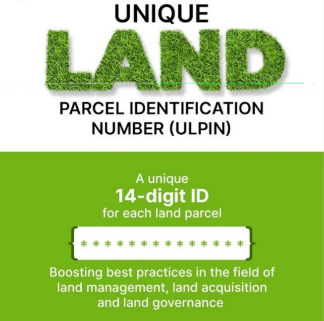
The Delhi government has announced that every land parcel in the capital will soon be assigned a unique 14-digit identifier, known as Bhu-Aadhaar. This initiative aims to modernize land records, eliminate boundary disputes, and enhance transparency by using drone surveys and geospatial data for accurate mapping.
In a landmark move to streamline land governance, the Delhi government has launched the Bhu-Aadhaar scheme, which will assign a 14-digit Unique Land Parcel Identification Number (ULPIN) to each plot in the city. The initiative is part of the Digital India Land Records Modernisation Programme and is expected to revolutionize property management.
Chief Minister Rekha Gupta emphasized that the project will end decades of land-related disputes by providing precise digital mapping of boundaries. High-resolution drone imagery and geospatial data from the Survey of India will be used to create a comprehensive digital land map of Delhi.
Officials highlighted that the identifiers will serve as permanent digital addresses for land parcels, ensuring clarity in ownership, transactions, and taxation. The move is also expected to boost real estate transparency, reduce litigation, and support urban planning.
Key Highlights
Delhi land parcels to get 14-digit Bhu-Aadhaar identifiers
Initiative under Digital India Land Records Modernisation Programme
Drone surveys and geospatial data to ensure accuracy
Aim to eliminate boundary disputes and modernize records
Identifiers to serve as permanent digital addresses for land parcels
Sources: Hindustan Times, Times of India, India TV